Leka
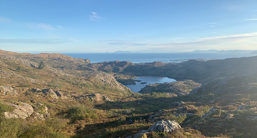
Vattind: Leka’s highest point at 418 meters above the sea. A nice trip in varied and somewhat hilly terrain. The tour takes approx. 1 1/2 hours from the pier (one way). Vattind was a first-order fire beacon post from the time when cairn fires were used to warn of enemy intrusion. If the weather is clear you can see Torghatten, Vega and Hortavær etc. You can actually see all the way to The Seven Sisters from Leka’s summit.
Steinsvatnet:
A mountain lake in a barren landscape not far from Vattind, which provides opportunities for a refreshing swim. There are opportunities here to catch some trout. About 2 hours hiking from the pier (one way).
Hårfjellet:
The highest point you see from the pier when you look southwest. The view is amazing.
Heilhornet:
Heilhornet in the Municipality of Bindal is a favourite hiking destination with a summit 1058 m above the sea. The trip up is approx. 12 km along a well-marked trail. The trip normally takes from 5-7 hours round trip at a moderate pace. Heilhornet, or Heilhornene, are the high, pointed peaks that you see from the pier (to the northeast). It is a nice day trip to take the ferry from Leka and the trip up to Heilhornet, before you return and have a good meal with a good drink on the pier again.
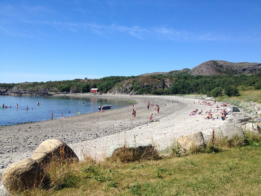
Årdalssanden – one of Trøndelag’s most beautiful sandy beaches:
Årdalssanden is located approx. 6 km south of Leka Brygge and can be reached either by bike or by car (asphalt road all the way). The beach is 400 meters long and shallow waters; a favourite spot for families and children. The beach faces south and is sheltered from the North Wind.
There are lawn areas here with tables and benches. There are also toilet facilities at the beach. Why not take your lunch or bike break here? The beach is a nice detour from the county highway around the island. You turn left at Haug and follow the gravel road about 2 kms, through the farmyard and lush arable land.
Herlaugsløypa:
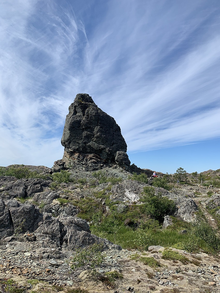
A trip around the Lekafjellene mountains. Marked round-trip trail at Lekafjellene, with formidable views and many geological goodies. Named by a German travel guide as one of the three most beautiful hiking routes in Scandinavia. Detours to Vattind, Kolsettuva and Hundøyrån. Time needed: Approx. 6 hours.
Otherwise, it is worth visiting sights such as the famous Solsemhola, Herlaughagen (Norway’s 3rd largest Viking burial mound) and Ørnerovet – the place where the eagle brought little Svanhild and flew her up to a ledge on Hagafjellet.


